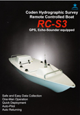
Coden Hydrographic Survey Boat – RC-S3 Twin Motor/Prop Model
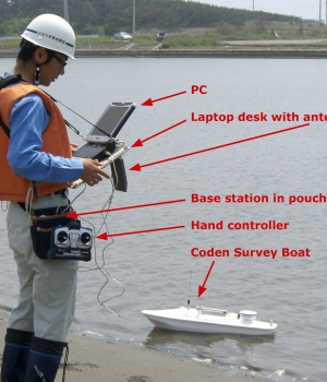
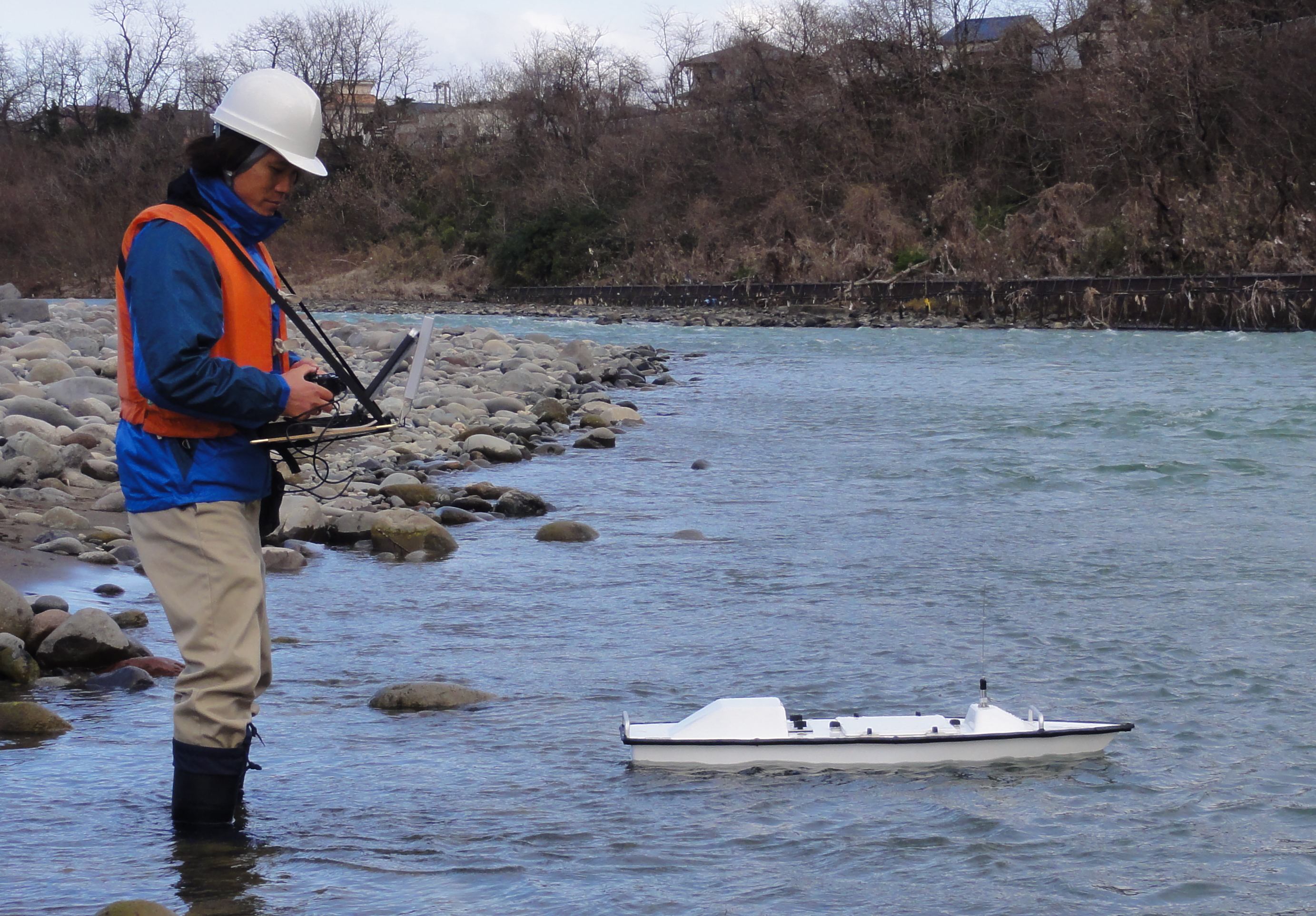
The Coden Hydrographic Survey Boat is a remote control platform designed for quick deployment and use in shallow waters and hard to reach areas. The small size allows for a one man operation which can reduce time and costs of versus deploying regular crews in larger full size boats. Man hours can be greatly reduced and also no more time spent hitching up larger boats and needing docks to land at the target sites.
However, the Coden Survey Boat can also be utilized along with conventional hydrographic surveying methods. It can be launched and remotely controlled from another larger boat or from land whenever shallow waters and hard to reach areas become a problem. Simply, deploy the Coden Survey Boat from your conventional boat or from shore, launch the unit and paint over the problem area and your surveying for that target is done.
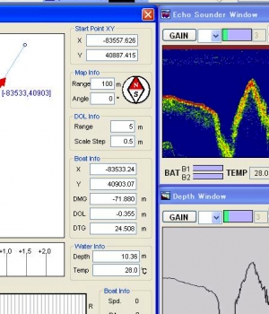
The unit is small and portable, but sturdy and dependable. Our dedicated software and interface makes its use very simple. With instructions and practice, any person can collect data.
The reduction in time and cost using the Coden Survey Boat will give your company a competitive edge for job bids over others.
Uses & Services
- Rivers
- Lakes
- Shores
- Ports
- Canals and waterways
- Dredging
- Marine construction
- Disaster response
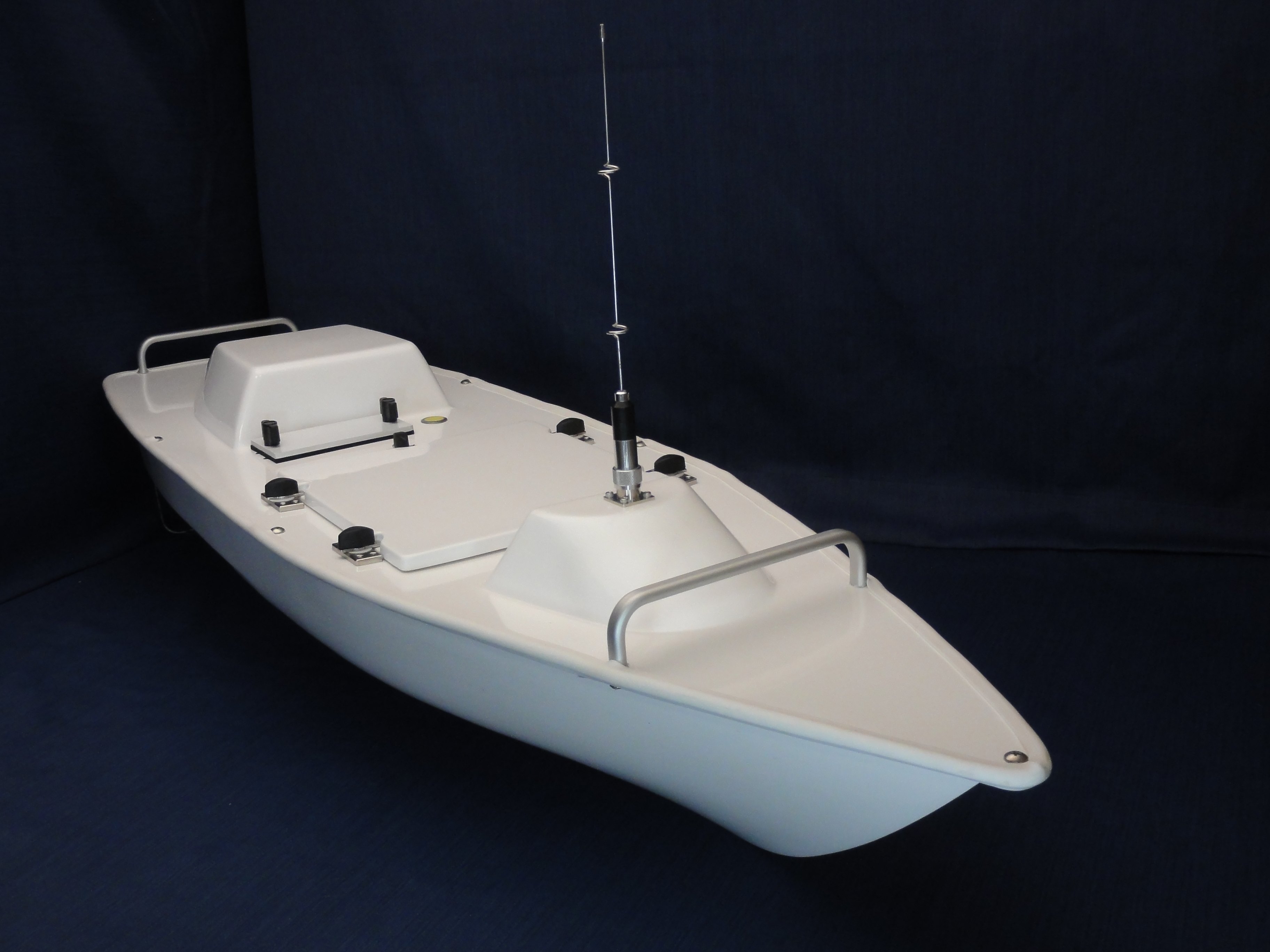
RC-S3, New 2012 Model
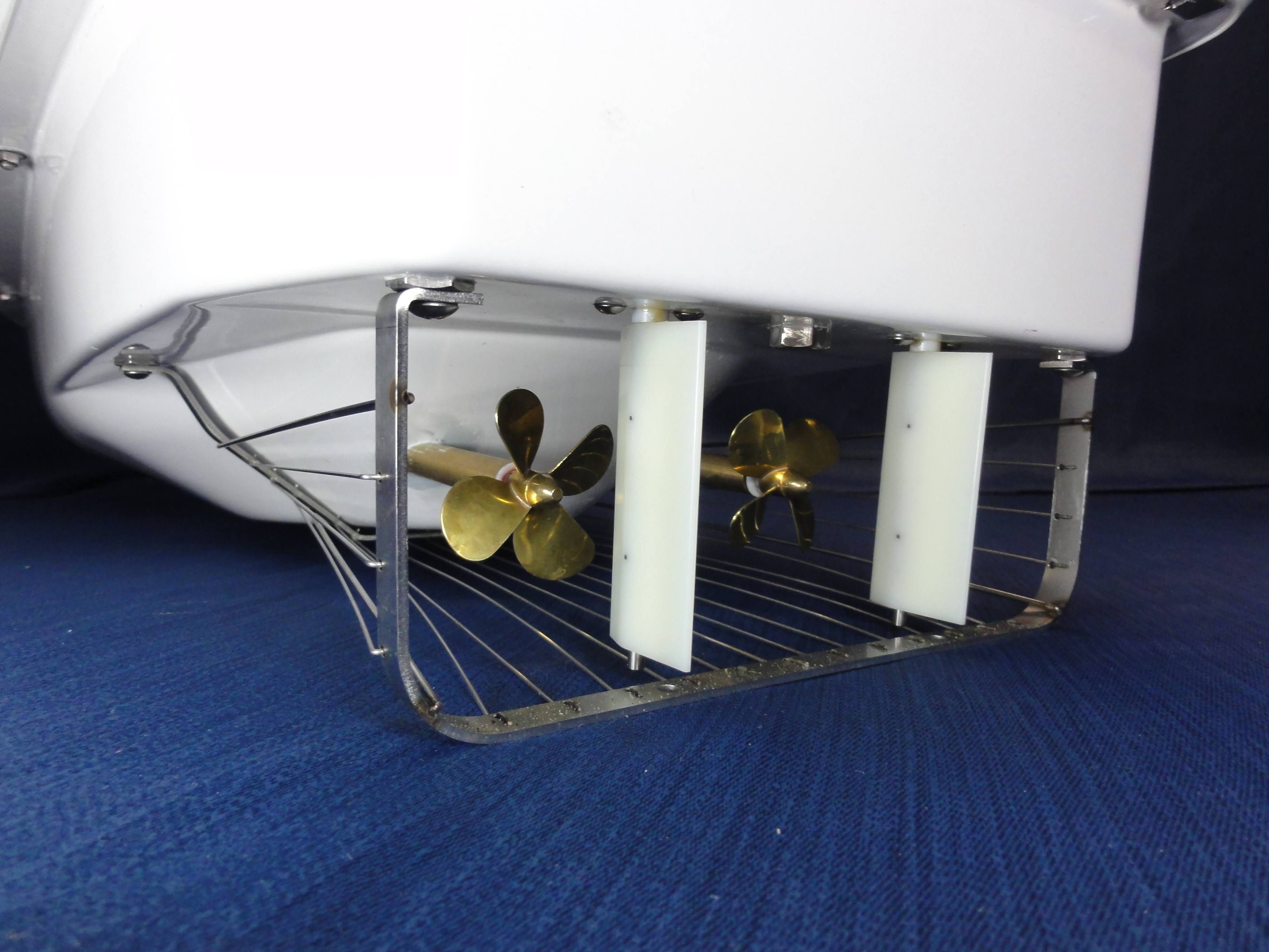
Twin prop – Twin motor
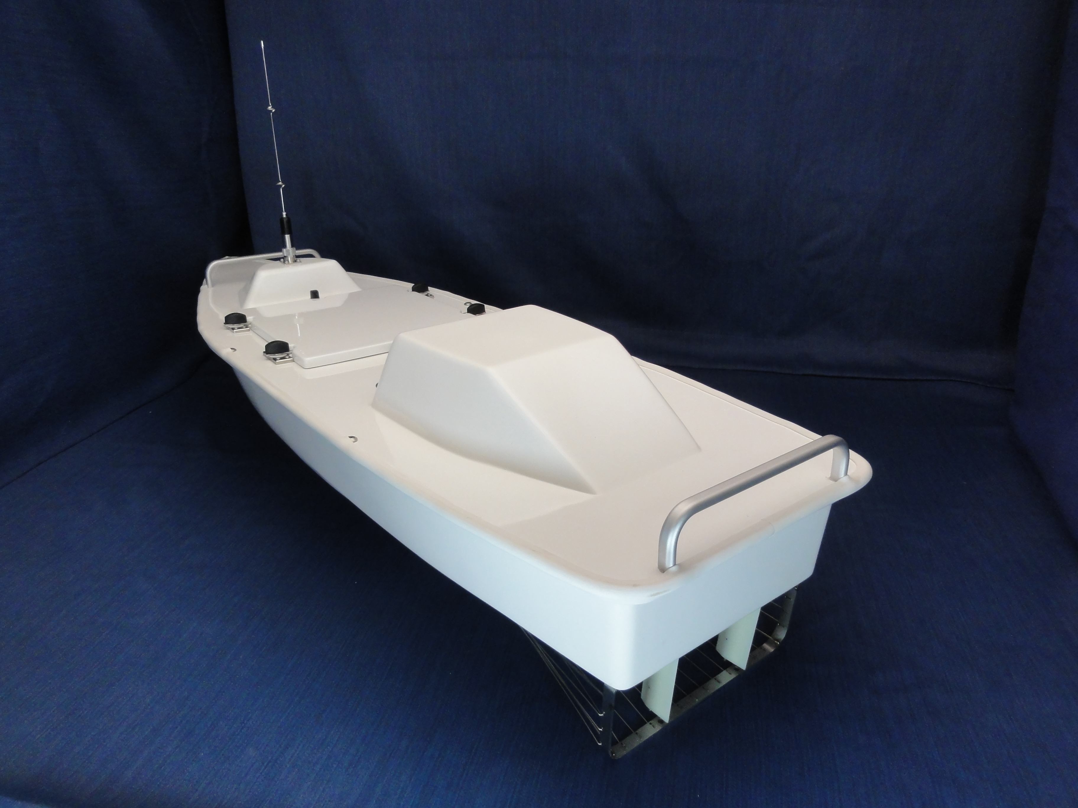
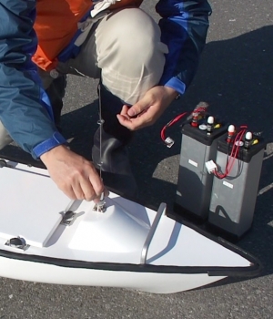
All sealed, waterproof
Coast & Harbor
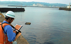
- Undestand sand supply conditions from coastal erosion or river
- Understand coast area circumstances (water condition, habitation)
- Understand torographic changes or water condition in harbor
- Survey environmental monitoring for shore protection or beach nourishment construction
- Understand current conditions inside or surface of wafer at harbor structure
River

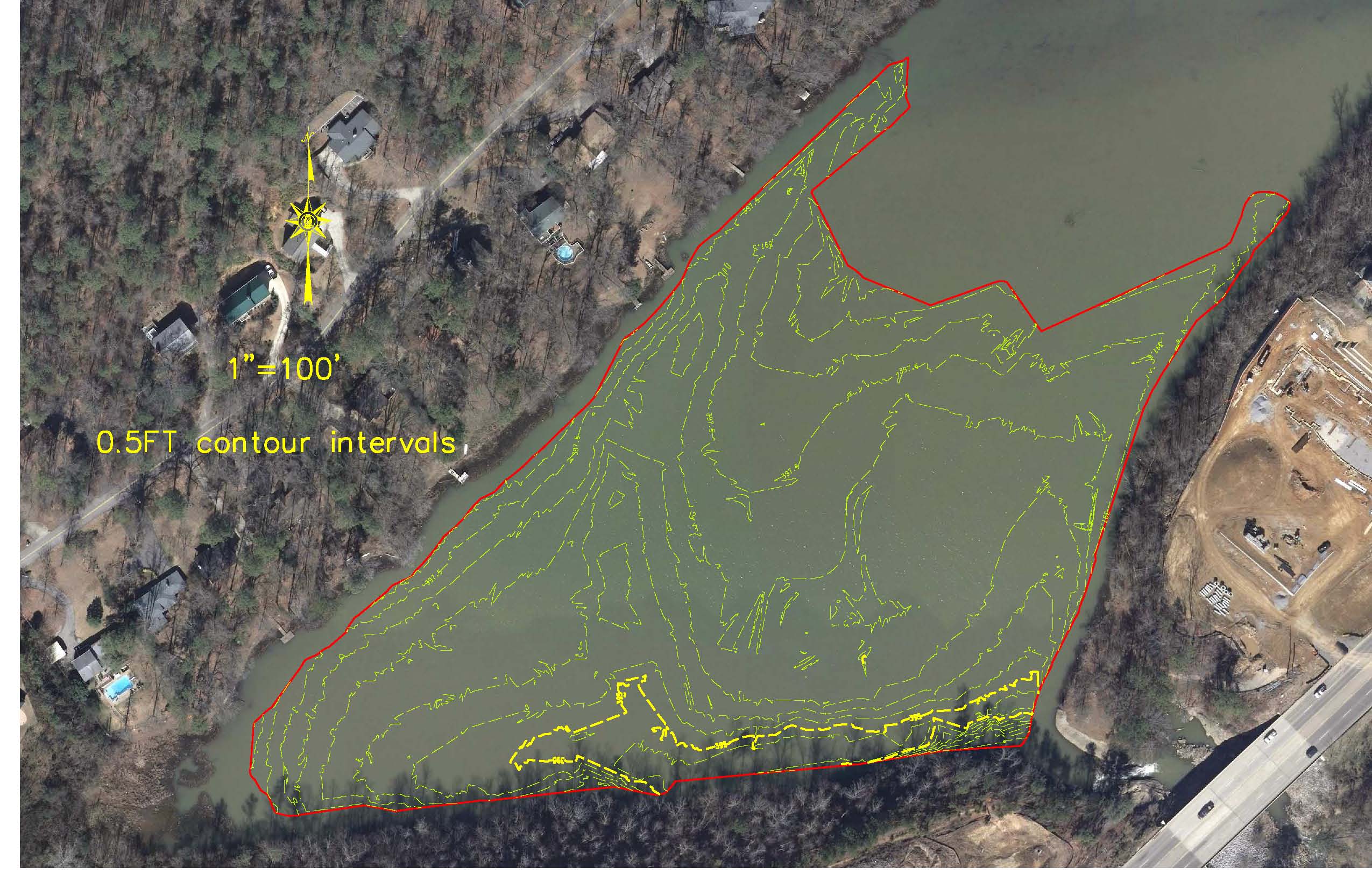
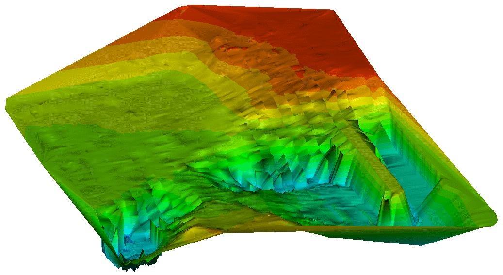
- Measure bottom shape changes of river with regular operation
- Understand circumstances inside and around river
- Survey environmental monitoring for river channel construction
Dam (Lakes & Marshes)
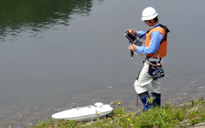
- Understand sediment amount of lakes and marshes by measuring sedimental changes
- Understand and control water quality or ecology of lakes and marshes
- Understand vegetation at the edge of lakes and marshes (camera observation)
- Understand habitation of animals and plants at lakes and marshes bottom (camera observation etc,)
- Survey current conditions of waterway for farming(rough terrain measurement)
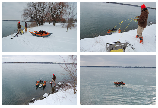
RC-S2 boat measurements rapid river at off limits area near Niagara Falls in USA.
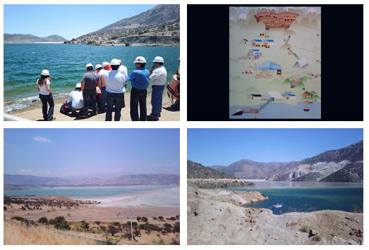
RC-S2 boat use for measuring quantity of depositted impurities in a dam that is made when copper refined. ( in Chile)
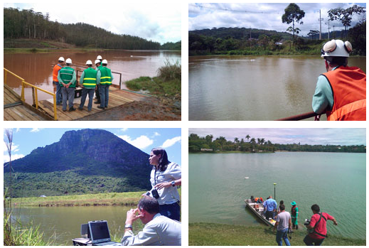
CPE in Brazil use RC-S2 boat measure for small dams and keep safety for managing dam of iron mine.
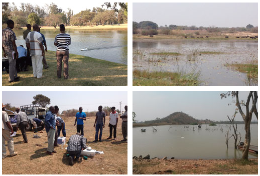
The University of Zambia use RC-S2 boat to study water quantity for 400 small dams at Lusaka area
One-Man Operation
No boat docks needed, saving time and money saved in every project used.
- No crew
- No full size boats to ready with equipment
- No full size boat to hitch up and tow
- No boat docks needed.
- Set up, GPS connected, etc. approximately 10-15 minutes
- Launch boat
- Cover targe area, boat top speed 2.7 knots, batteries 90 minutes a pair
- Check over data gathered on pc, return to office.

